RIGHT PLACE GEO
Tech Solutions for People in the Bush
Staf Smith
“A decade of experience using tech in the bush… We know what works and what doesn’t!”
Cultural Mapping
Cultural mapping and high-tech archaeological survey monitoring programs and digital recording techniques.
Training
We offer on the ground training courses in Fulcrum, drone mapping, and QGIS, anywhere in Australia.
Geospatial Strategy
Geospatial Strategy and GIS software setup for land management and heritage groups.
Software Engineering
Custom geospatial app development, 2D and 3D cultural and geo database design and implementation.
Data Collection
Field data collection software setup and customisation (Fulcrum, Cybertracker, ODK, Custom).
Drone Progams
We can advise you on setting up a drone survey program, purchasing your equipment, and get your staff certified.
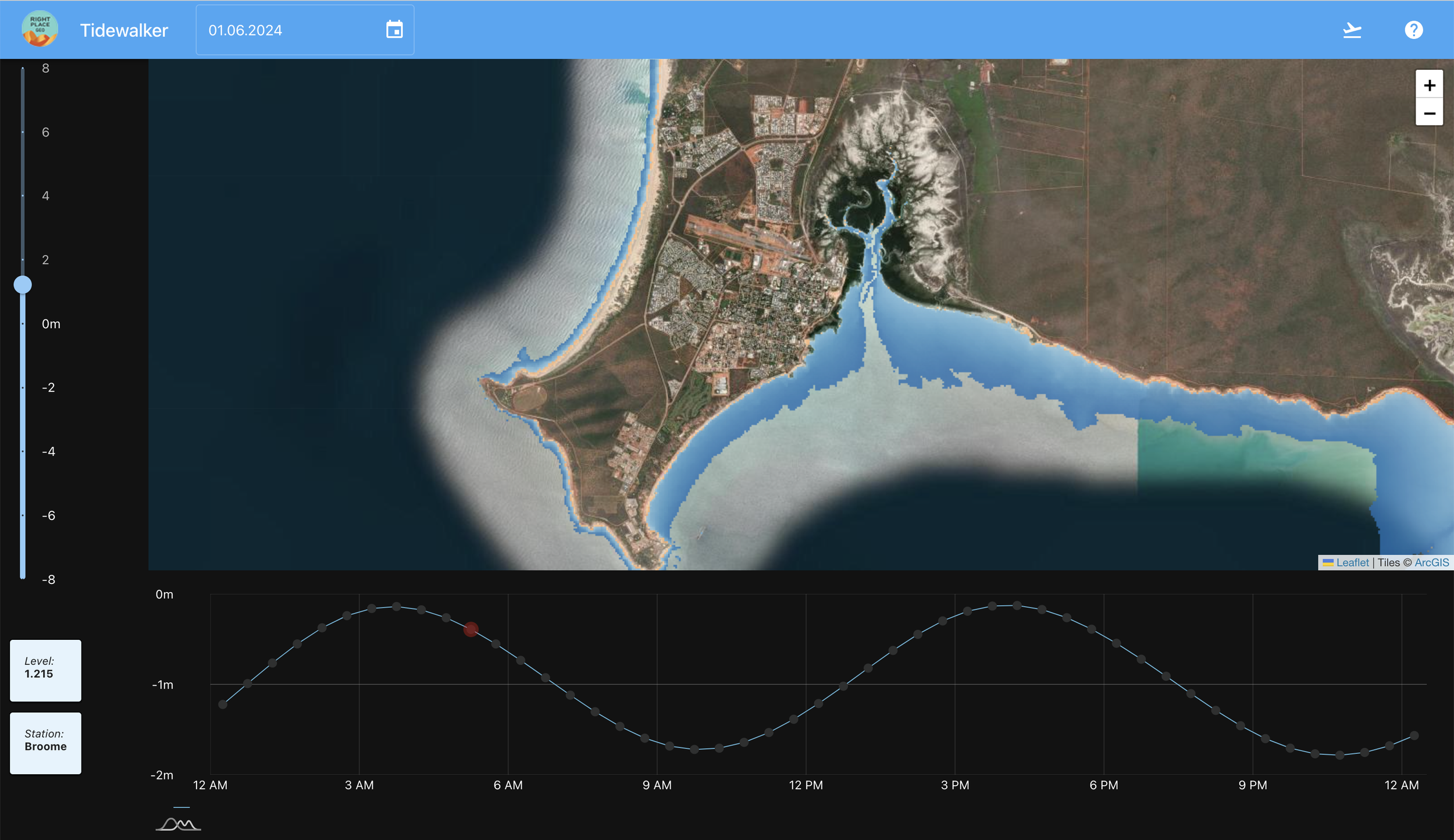
Tide Walker
A custom web application for predicting tides.
Click through to experience it for yourself.
“Right Place” | a bush term for something ‘bang on,’ ‘perfect,’ or ‘schmick’
Official Fulcrum Partner
We build apps for field data collection
CesiumJS Certified
We build 3D mapping applications for the web
Ngururrpa Drone Training
August 2022 - Head trainer Stafford travelled to Balgo to deliver three days of drone training to six of the Ngururrpa rangers to help them get started with a drone program.
“The training went exactly as I hoped, from learning to carefully handle the drone to learning how to put it to work for our program. Staf helped us with ideas on how to put drone work with ranger work.”
“Staf came out and conducted a 3-day on-country training course with the Ngururrpa Rangers to help us start up our drone program. We wanted to learn about how to fly the drone and best use the drone for ranger work. We had some ideas about using it for cultural mapping and Staf helped teach us the best ways to collect this sort of imagery and information with the drone.
He also helped us develop other ideas about how we can use the drone including for threatened species work and we even trialled some methods of looking for bilby burrows with our drone. As a result of this training, Ngururrpa Rangers are now feeling confident flying our drone, understand some of the ways we can use drone imagery and mapping in our work program and are comfortable using computer programs to process our drone imagery.
Staf was great to work with in the field; he was flexible, friendly and a great instructor, he tailored the training to what we wanted to do and we highly recommend him.”
Let's make something!
Use the form below to get in touch.


